-->
- Estanys de Vedos
Altitude 1355 m - Superficie 4.0 ha - Profondeur ? -
Poissons: TF
Pantà de Graus ou Barratge de Graus, 1355 m et 4 ha - Camping Bordes de Graus
Randonnée Pantà de Graus
:
Carte IGN OSM GMaps ICGC
Départ : Graus
Massif : Riu de Tavascan
Parcours :
Montée 0h -
Font d'Arenys
Sujets forum : - Vall de Cardós
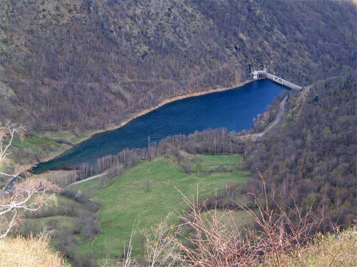
Pantà de Graus, Vall de Cardós

photo avril 2011 d'après PG
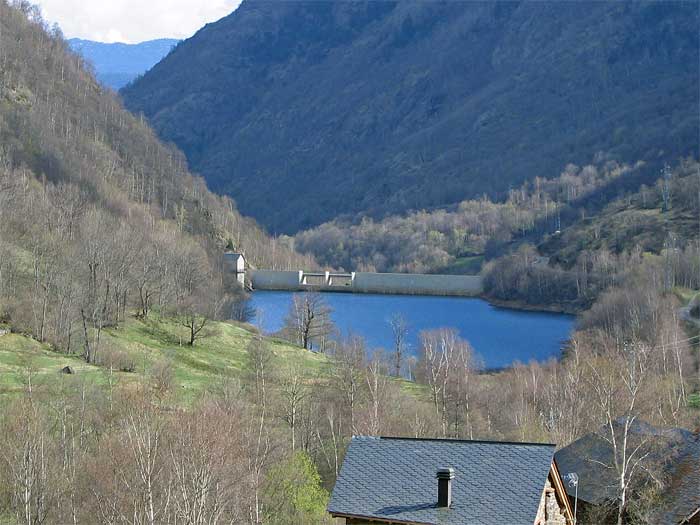
Pantà de Graus

photo avril 2011 d'après PG
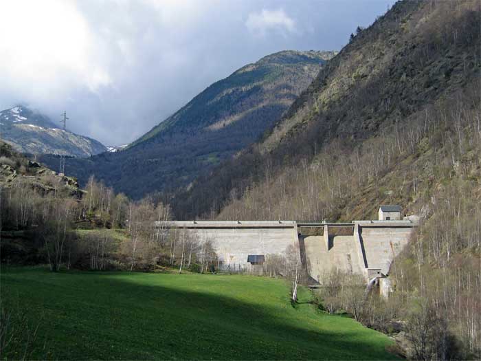
Pantà de Graus

photo avril 2011 d'après PG
Autres photos:
Si vous connaissez des informations sur ce lac ou pour publier une photo:
écrivez-nous - merci


